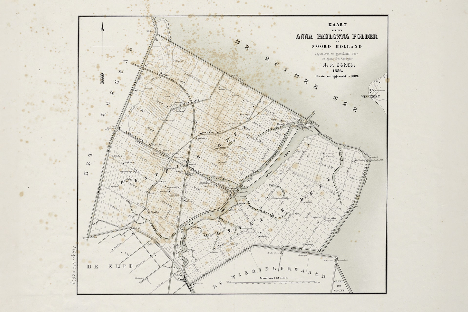
The Oostpolder is the name for this eastern part of the Anna Paulowna polder. From the crest of the dike it is visible how the landscape unfolds in three directions: in front of you the Amstelmeer with behind it the old Wieringen, left the village Van Ewijcksluis and right the Wieringermeer polder.
The Anna Paulowna polder was drained from 1845 and named after the wife of King Willem II. The Westpolder was drained first, soon followed by the Oostpolder. The first inhabitants came from the Betuwe. They settled after a call from their preacher and received a workers’ house with a patch of land. With that they had to build a life in a harsh, salty environment. Yet they succeeded. First with madder, used for red dye, later with grain and potatoes and eventually with flower bulbs.
But always there was the threat of the water, which showed herself at her strongest in the night of 13 to 14 January 1916. In several places in the Netherlands the dikes broke through. Also the dike at Van Ewijcksluis could not stop the pushing water. In a short time the complete Oostpolder was under water. The metres high water caused a disaster that took lives and caused great damage to the polder, the farms and houses.
At the same time 1916 became a turning point in history. It marked the beginning of large-scale water management and with that the closure of the Zuiderzee: a milestone in Dutch history and a gigantic achievement of people and technology.
Photo: ©Collection of maps and map books of the Provincial Atlas North-Holland, North-Holland Archives, inventory number 684. Maker H.P. Eske
Oostpolder
Lotweg
1761 JG
Anna Paulowna
Contact details
| Opening hours | |
|---|---|
| Open 24 hours | |


